SHEET 29 · Terrain & GIS
Wanderlust
A trip planner on MapLibre — drag-and-drop itineraries with EXIF/HEIC photo ingest placing shots where they were taken
no public build · runs locally
2026localTerrain & GIS
About
A trip-planning app built for a 2026 Thailand trip: a MapLibre GL map as the planning surface, drag-and-drop itinerary building via dnd-kit, and EXIF/HEIC photo ingest that places shots at their capture coordinates. Next.js 16 + Supabase, with Playwright and Vitest coverage. Successor to Road Trip Memory Explorer — same domain, better tools.
Key features
- 01MapLibre GL map as the planning surface
- 02EXIF and HEIC photo ingest with GPS placement
- 03Drag-and-drop itineraries via dnd-kit
- 04Supabase persistence
- 05Playwright + Vitest coverage
Nearby
SHEET 28 · Terrain & GIS
no public build · runs locally
Road Trip Memory Explorer
GPS logs become a speed-gradient Folium map with auto stop detection, EXIF photo placement, and a trip journal — all in Streamlit
2025local
SHEET 09 · Terrain & GIS
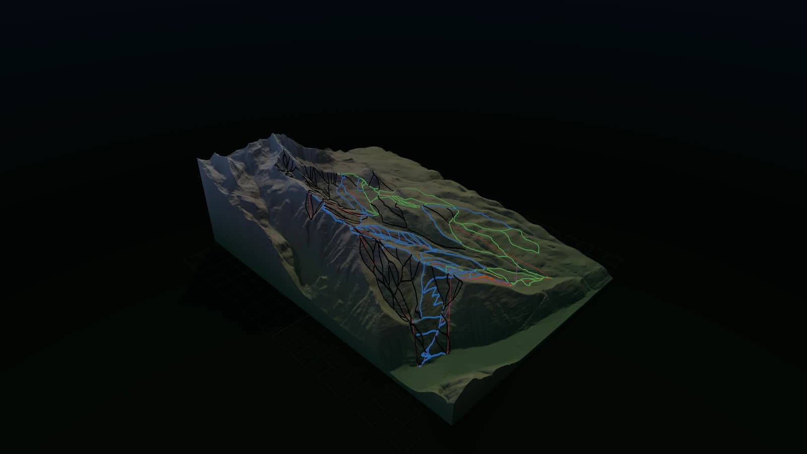
Mountain Models
8,000 ski resorts worldwide, one DEM pipeline — watertight multicolor STLs and seamless height-tile bundles for a real-time terrain engine
2026live8,000 resorts2 output targets
SHEET 10 · Terrain & GIS
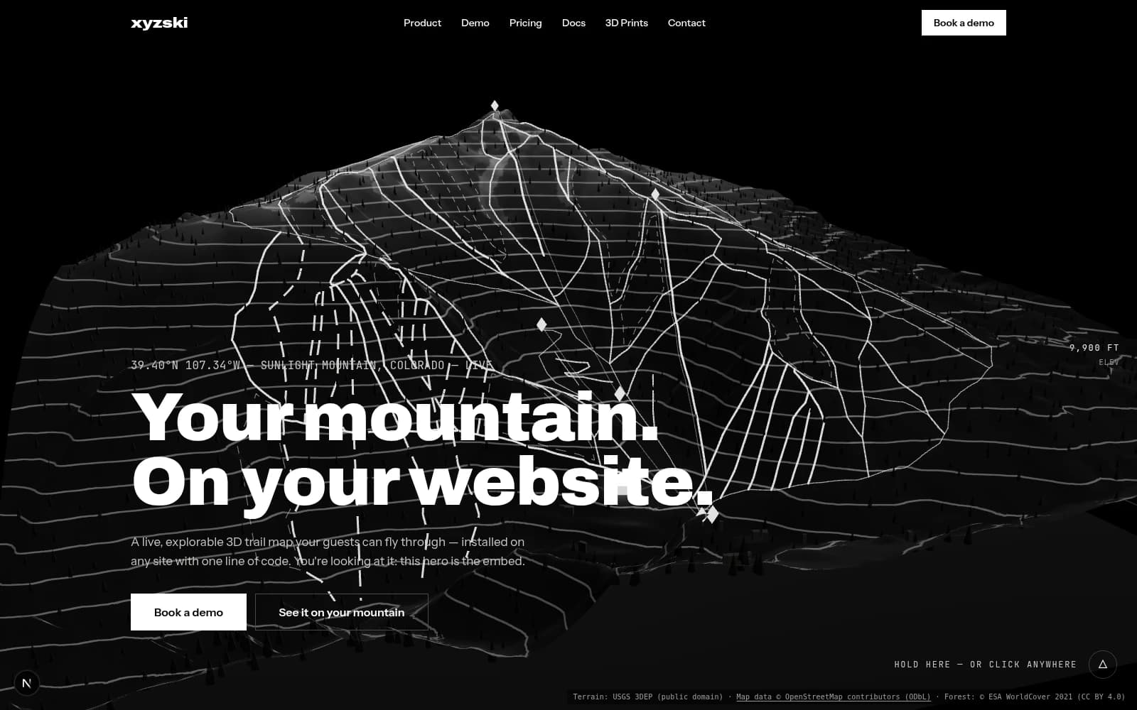
xyzski
A 3D ski mountain you can drop into any website with one line of code
2026live207 kb embed60 resorts baked