SHEET 09 · Terrain & GIS
Mountain Models
8,000 ski resorts worldwide, one DEM pipeline — watertight multicolor STLs and seamless height-tile bundles for a real-time terrain engine
8,000 resorts2 output targetsbyte-identical bakes2.4× measured speedup2026liveTerrain & GIS
About
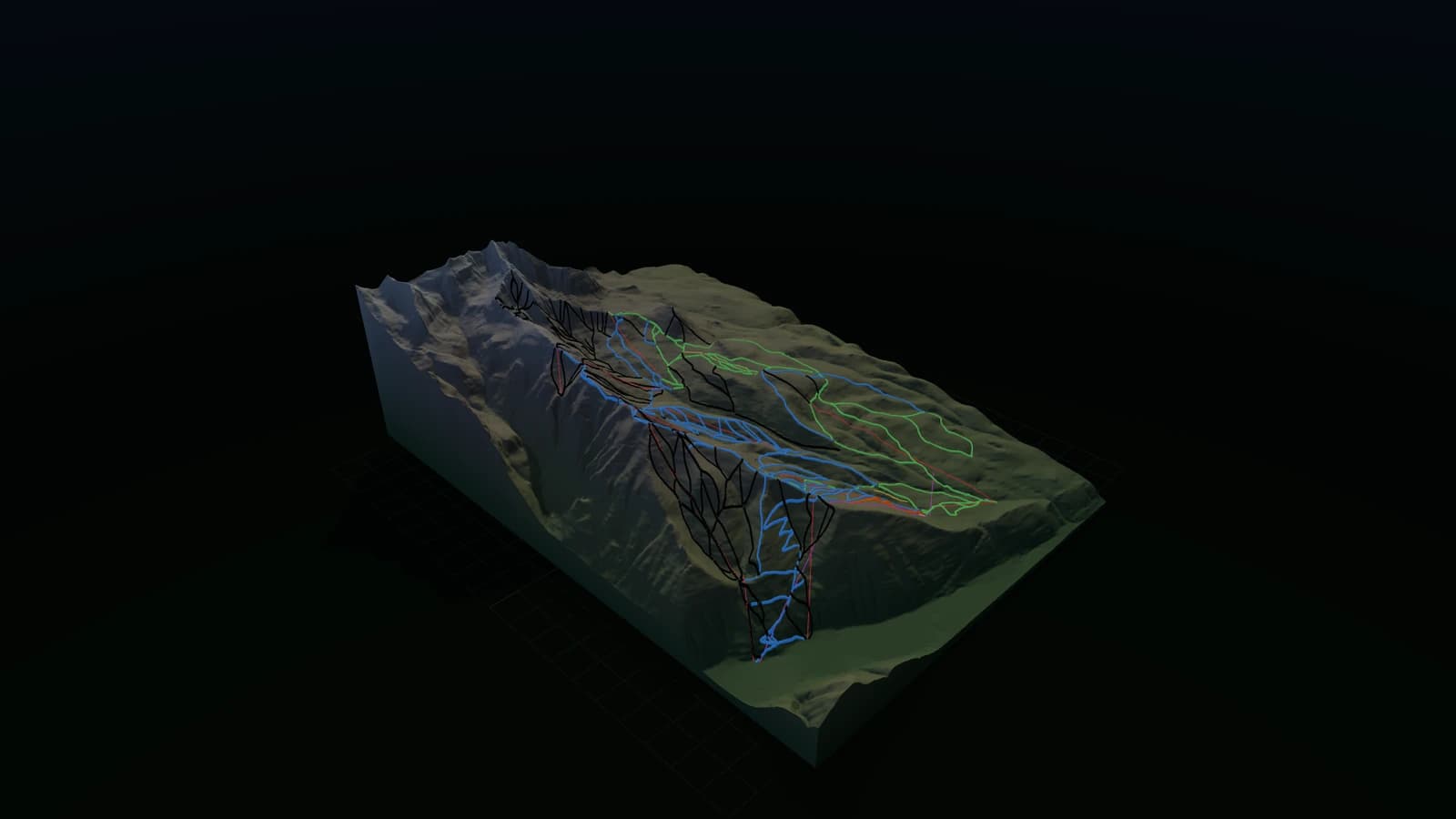
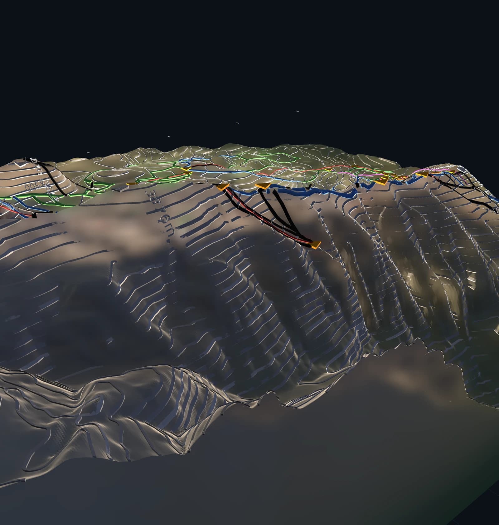
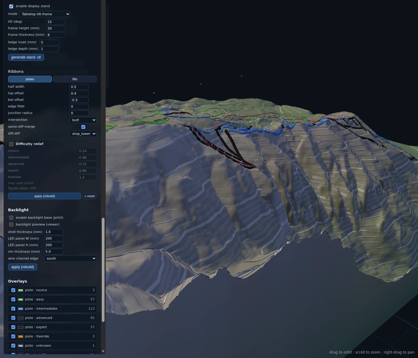
A Python pipeline that turns any of ~8,000 lift-served ski areas on Earth into two different outputs from one shared terrain core. Head one: a watertight, multicolor, 3D-printable STL tuned for a Bambu Lab H2C — trim in the browser with rectangle, polygon, or cut-line tools, with contour lines, embossed labels, and magnet-aligned multi-plate splits. Head two: a Skiride world bundle — a quadtree of seamless height/material/tree-density tiles baked for a real-time terrain engine. Determinism is a hard requirement: two independent bakes must be byte-identical, enforced by a frozen hash kernel and a regression test suite.
Key features
- 01One-shot global OSM scrape: ~8,000 ski areas with lifts joined spatially
- 02Skiride world-bundle exporter: quadtree of bit-identical RG16 height tiles + material/blend classification consumed by a real-time terrain engine
- 03Deterministic by construction: frozen hash kernel, timestamp-scrubbed STL/PNG/JSON output, byte-identical two-bake regression tests
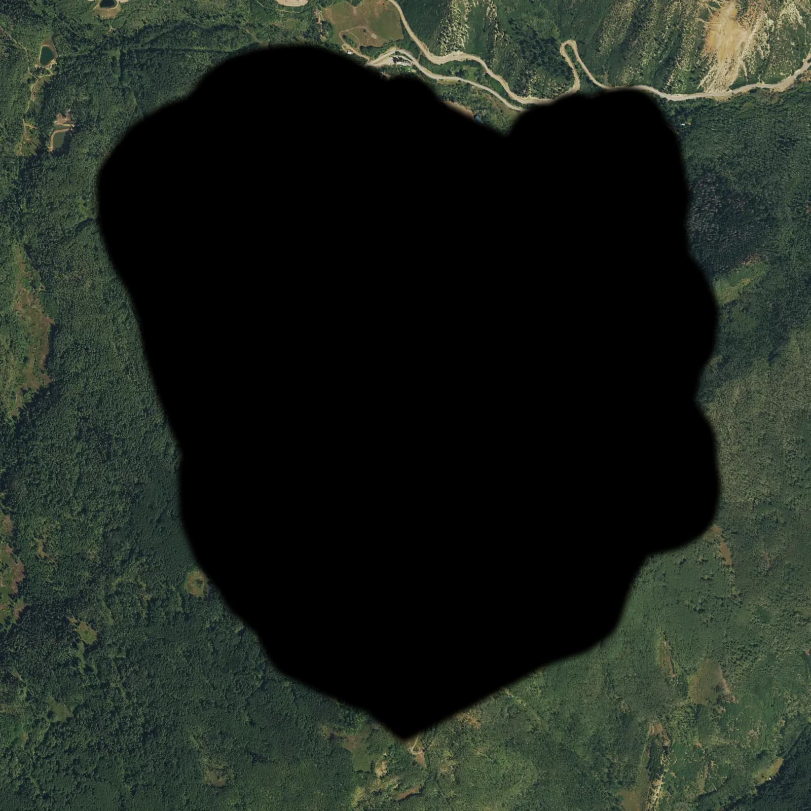
- 04Real canopy-height tree placement (NAIP-CHM / Meta CHMv2) with lift-corridor clearing
- 05Watertight binary STL generator with per-cell keep mask and walls following every kept boundary
- 06Three trim tools in the browser: rectangle (Shift = square), polygon, cut-line
- 07Multicolor overlay STLs: one watertight ribbon per piste difficulty class + lift type
- 08Multi-plate splitting with dovetails, magnet pockets, and pin holes for prints too large for one plate
- 09Hardware-aware generation: wall thickness and text strokes derived from printer capabilities, hard AMS color budget
- 10Default grid resolution 1400 with slope-aware shading, serial-number overlays, and ski-area boundary features
- 11Measured 2.4× pipeline speedup (Wave VI vectorization) with documented before/after benchmarks
- 12DEM source chain: USGS 3DEP -> Copernicus GLO-30 -> AWS Mapzen Terrarium, geography-routed, never hard-fails
Gallery
Nearby
SHEET 10 · Terrain & GIS
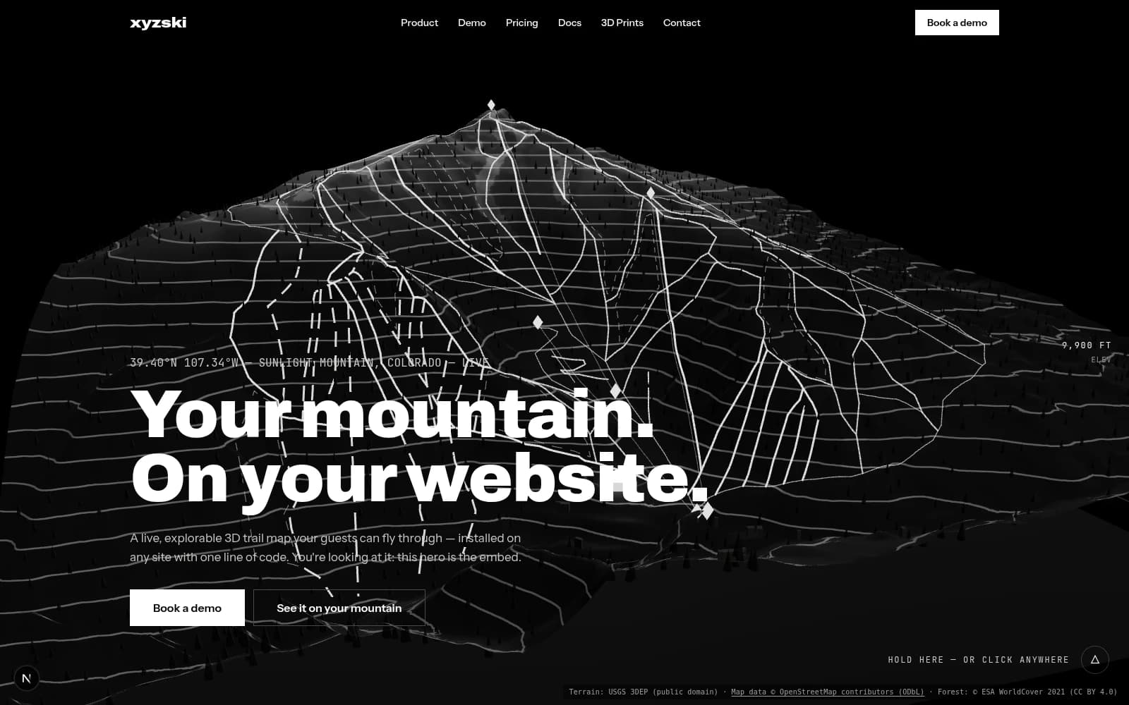
xyzski
A 3D ski mountain you can drop into any website with one line of code
2026live207 kb embed60 resorts baked
SHEET 11 · Terrain & GIS
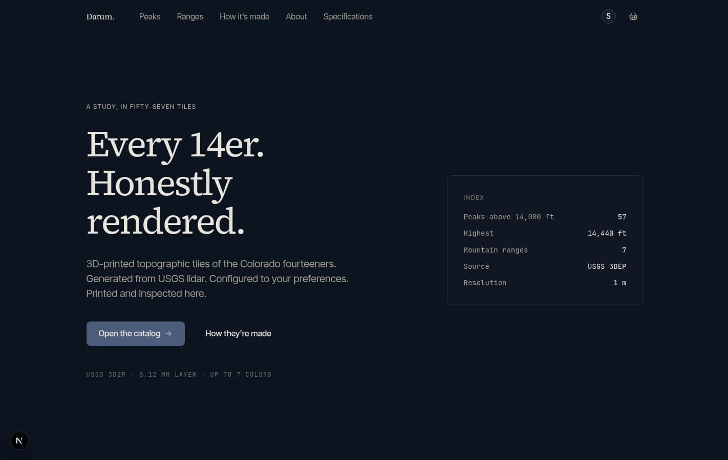
Datum
Colorado's 57 fourteeners as 3D-printed, magnet-mounted relief tiles — one DEM-to-mesh pipeline and the storefront that sells them
2025local57 fourteeners
SHEET 30 · Terrain & GIS
no public build · runs locally
Road Trip Memory Explorer
GPS logs become a speed-gradient Folium map with auto stop detection, EXIF photo placement, and a trip journal — all in Streamlit
2025local